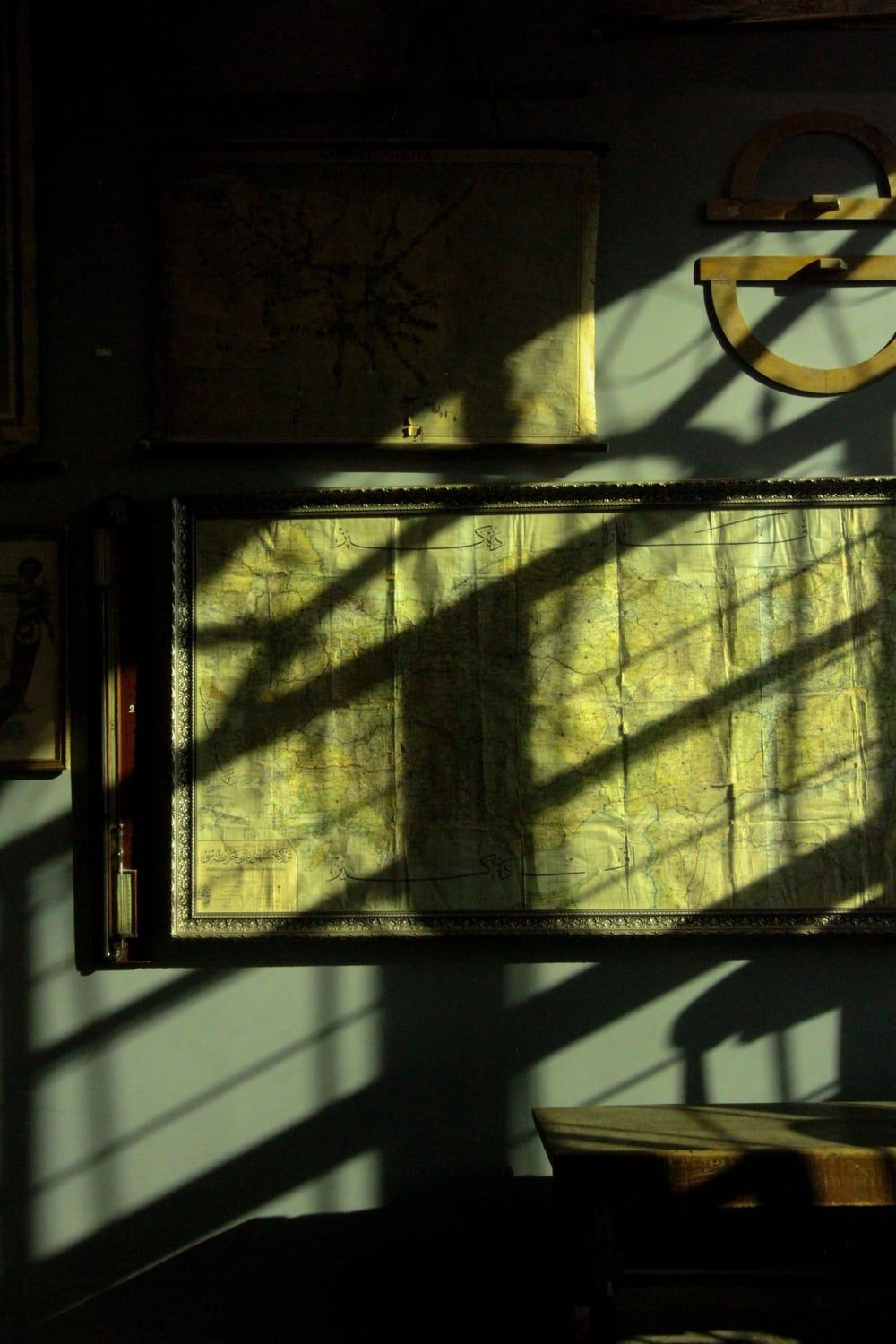
Real estate
The price map behind every market report.
01
Editorial. Flat land, crisp white borders, bold colour. The newsroom graphic, and the engine's default for data.
How it works
Free from the first sentence to the final PDF. Sign up once, then make up to ten maps a day.
One sentence is enough: “our stores in the UK, sized by sales”. Add any data you have: CSV or Excel, a PDF report, a pasted list of places, even a photo of a printed table.
It finds the places in your data (countries, provinces, districts, towns or coordinates) and makes the calls a cartographer would: projection, level of detail, classification, palette, style and layout.
Switch style, page size or orientation, toggle map elements, and ask for changes in plain words: “make it green”, “use natural breaks”. The engine explains why it drew the map the way it did.
A vector PDF at A4 or Letter for print and an SVG for your designer. No watermark, no charge. Every map is saved to your account to open and download again.
What the engine decides for you
From orbit to street
Whether your story spans the planet or a single district, CartoMapper picks the projection, the level of detail and the reference layers a professional cartographer would.
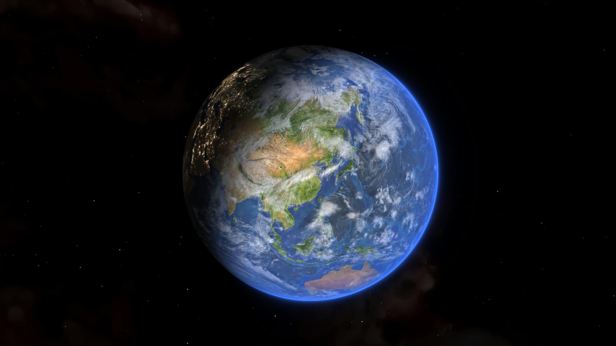
1 : 100 000 000
Every country on an equal-area globe: no Mercator distortion, so Africa and Greenland finally look their real size.
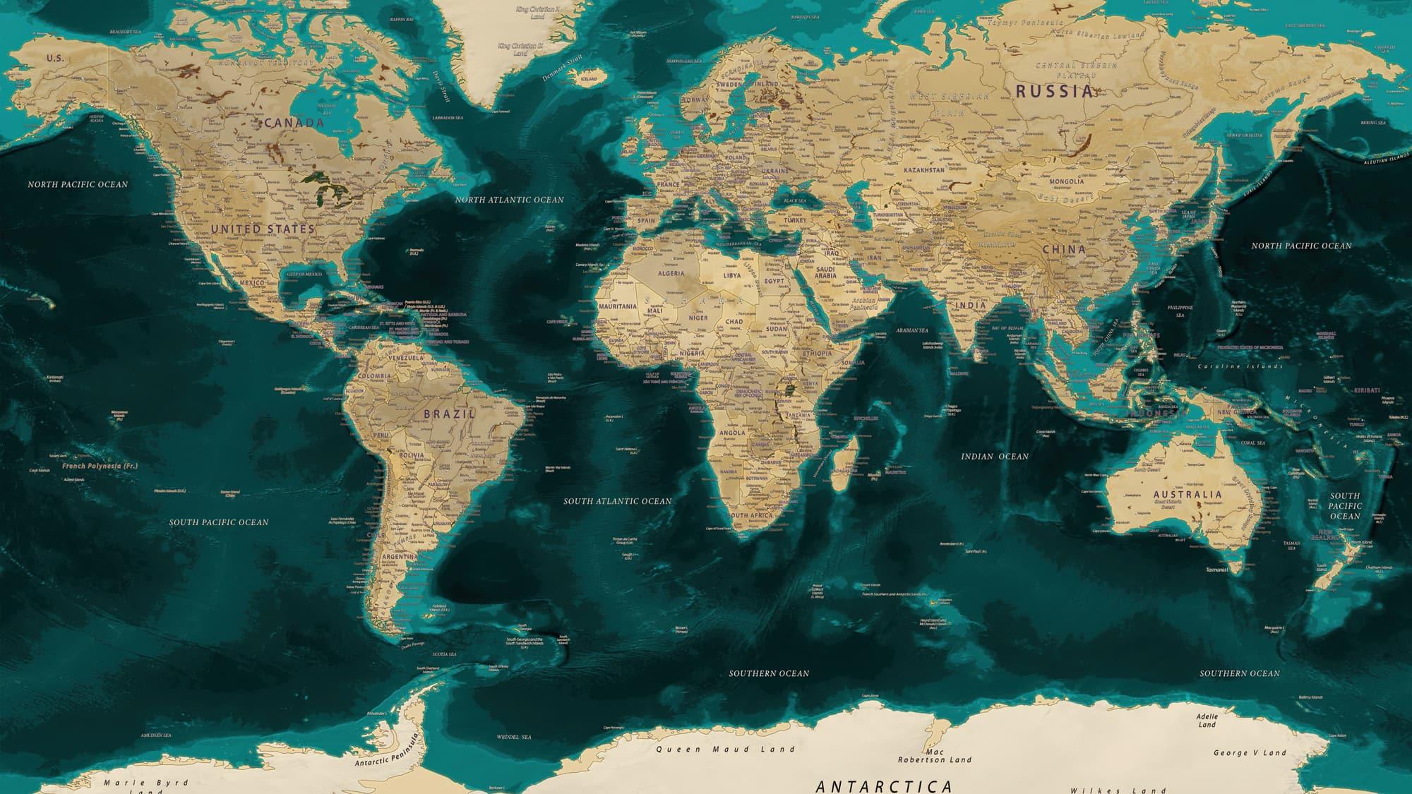
1 : 20 000 000
Lambert azimuthal projections centred on your region: Europe, Southeast Asia, the Americas, the Gulf.
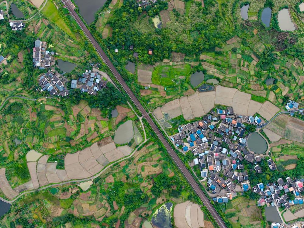
1 : 2 000 000
Official boundaries for 199 countries down to district level. Shade the 47 prefectures of Japan, the 3,000 counties of the US or the 33 boroughs of London.
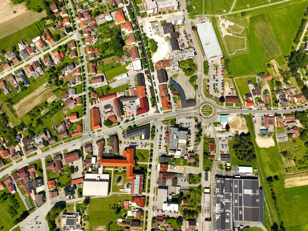
1 : 250 000
Clinics, schools, stores, stations: placed from coordinates or just their names, labelled without collisions.
Six looks, one engine
The engine picks the look that suits your data, or you pick one in a word. Every style keeps the rigour: honest projections, real class breaks, labels that never collide.
Real estate
Editorial. Flat land, crisp white borders, bold colour. The newsroom graphic, and the engine's default for data.
Finance & wealth
Night. A dark ground where your data glows. Launches, decks and anything headed for a feed.
Energy & EV
Dots. Land and data printed as a dot matrix. Poster-ready, and nobody else's map looks like it.
Publishers & guides
Atlas. Relief, rivers and peaks, only when you ask for them. For textbooks, guides and physical maps.
Who it's for
Hiring a cartographer takes weeks; desktop GIS takes months to learn. CartoMapper gives anyone the finished map in minutes.
Store networks sized by sales, prices by district, where the money went. For the board pack and the investor deck.
Pop-up tours, sell-out maps, where your customers really are. On-brand, in your colours, made for the feed.
Clinic coverage, outbreaks by county, results night. Publication-ready, honestly classified, no GIS department required.
Where-we-work maps for the donor report, clean plates for the lesson, a thesis study area done properly.
Questions
Almost anything with places in it: CSV or Excel files, a pasted list of names (countries, provinces, districts, cities), coordinates, a PDF or Word report, or a photo of a printed table. If you have no data, describe the map and we will draw it with illustrative sample data you can replace.
Every country; provinces, states and counties for 199 countries; districts for most of them; and over 7,000 cities and towns. Names are matched forgivingly: “Copperbelt Province”, “North Western” and “Kano State” all find their boundaries.
Yes. You download a vector PDF at A4 or Letter (text and lines stay razor-sharp at any size) with terrain embedded at print resolution, plus an SVG for your designer.
Yes, the maps are yours. The source line credits the open data behind them (Natural Earth, geoBoundaries CC BY 4.0 and Mapzen terrain), as their licences ask.
Change style, size and elements freely, and ask for up to 20 changes per map in plain words: “make it green”, “use natural breaks”. None of it counts toward your daily maps.
Yes. No premium tier, no trial, no card. Every account gets the whole studio. The one limit is 10 new maps per person in any 24 hours, which keeps the engine fast for everyone.
So your maps are saved for you to open and download again, and so the daily limit is fair: per person, not per browser. Signing up takes about thirty seconds: your name, country, what you do, email and a password.